Welcome To
Traverse Survey Pvt. Ltd.
Traverse Survey Pvt. Ltd is one of the leading agency in India in the field of Land Survey work for topographical features spot levels, contours and services details of development work i.e. oil project, road survey, topographical survey, transmission line, hydrographic survey, sewer lines, water supply lines, storm water drain and Project Management.
Services We Offer
Traverse Survey Pvt Ltd is capable of providing a team of professionals that have the experience to oversee the land grading / leveling work for various Industrial Project. We manage the execution part, quality, schedule, and cost and payment certifications for the land grading work.


Cadastral Survey

Building Survey
Transmission Survey
Hydrographic Survey
Our Projects


Latest Updates
Drone Survey
DRONE, UAV SURVEY The technology of drones and UAVs has unquestionably brought about a substantial change in how business is done at the present time. Unmanned Aerial Photogrammetric Survey is the use of Unmanned Aerial Vehicles (UAVs) or Drones to take photos for use...
Usable Tools
USABLE is building a global feedback loop connecting at-risk communities with digital security trainers, usability experts, and security tool developers, bringing ..

Auto Level
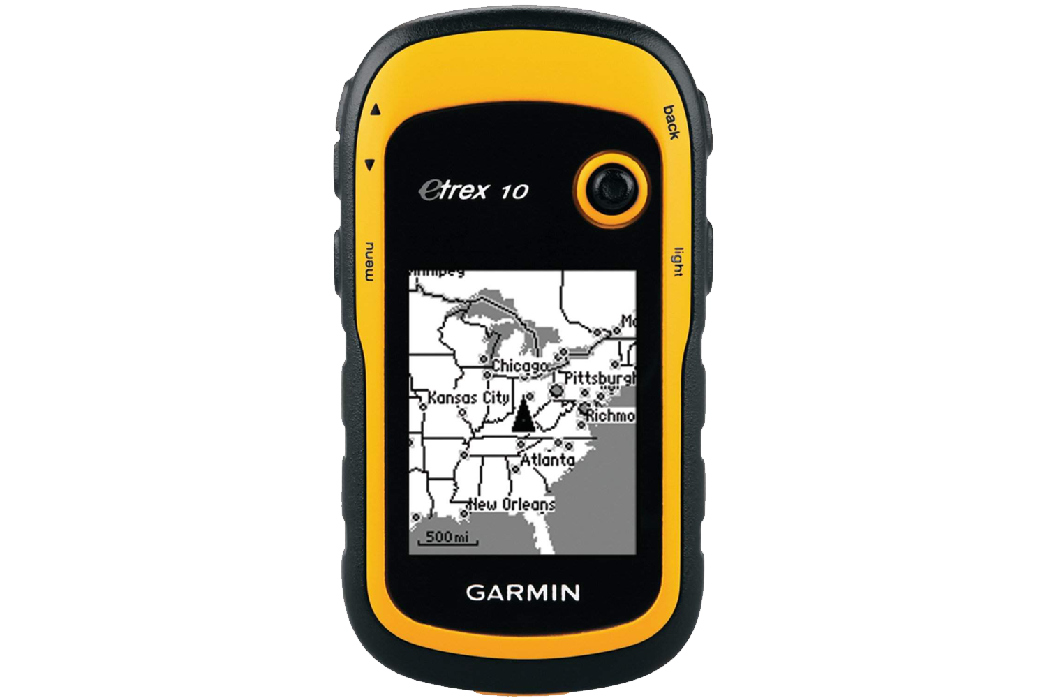
garmin_GPS
Leica Digicat
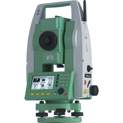
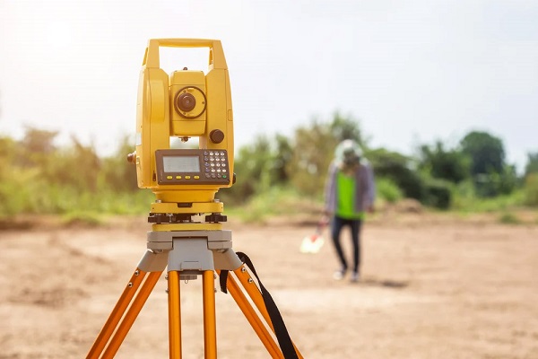
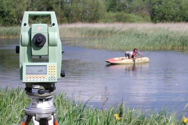
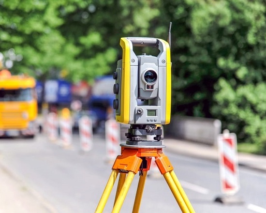
total station
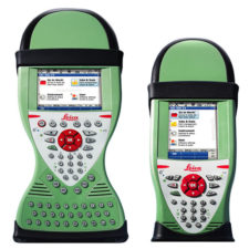
leica viva uno
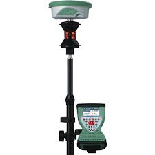
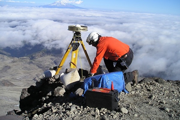
Leica Viva GNSS
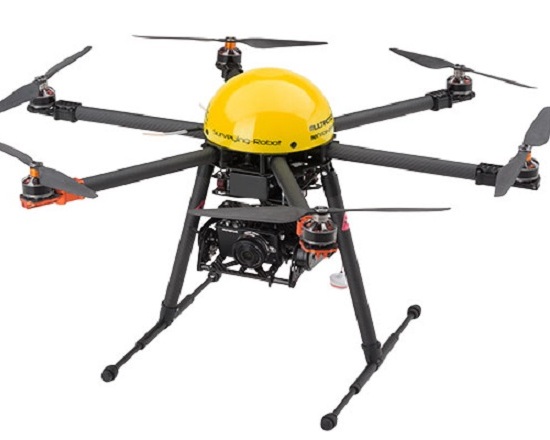
Drone
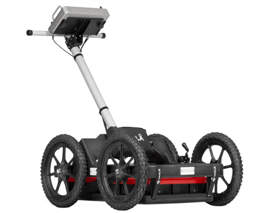
Gpr
Lidar
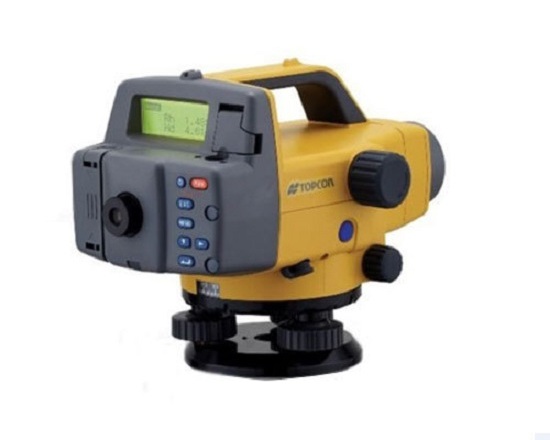
Digital level
Project Management
- Hill Road Survey Survey with DGPS Instruments both Static and Real time survey
- Property Survey
- Grid Marking For Building Construction
- Seismic Topographical Survey
- GIS Mapping
- Grid Marking For Building Construction
- Property Survey
- High Tension Line Alignment Survey
- Mine Survey ( Open Cast Mine)
- Topographical & Contour Survey Detailed Project Report for Roads, Highways and Railways True North Fixing by Sun/Star Observations Road Survey ( Including L S & C S Drawings)

Our Clients


