DRONE, UAV SURVEY
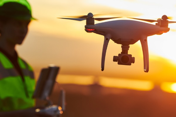
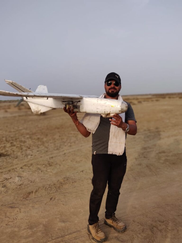
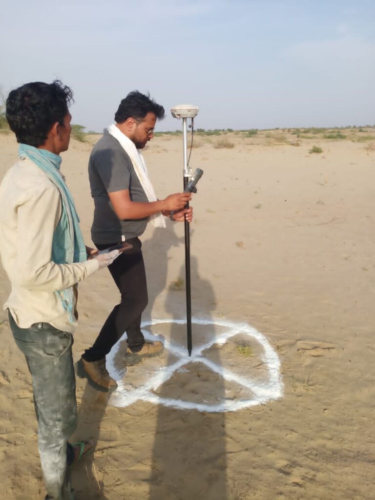
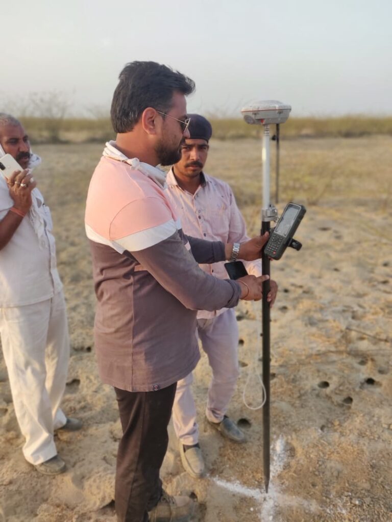
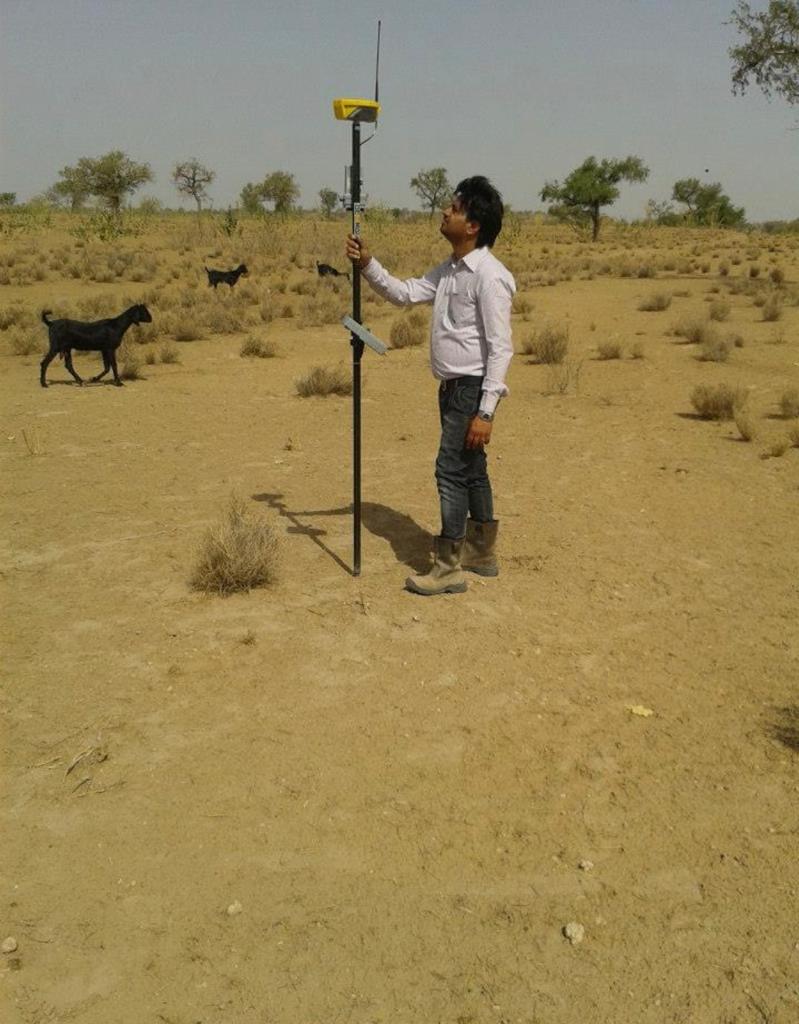
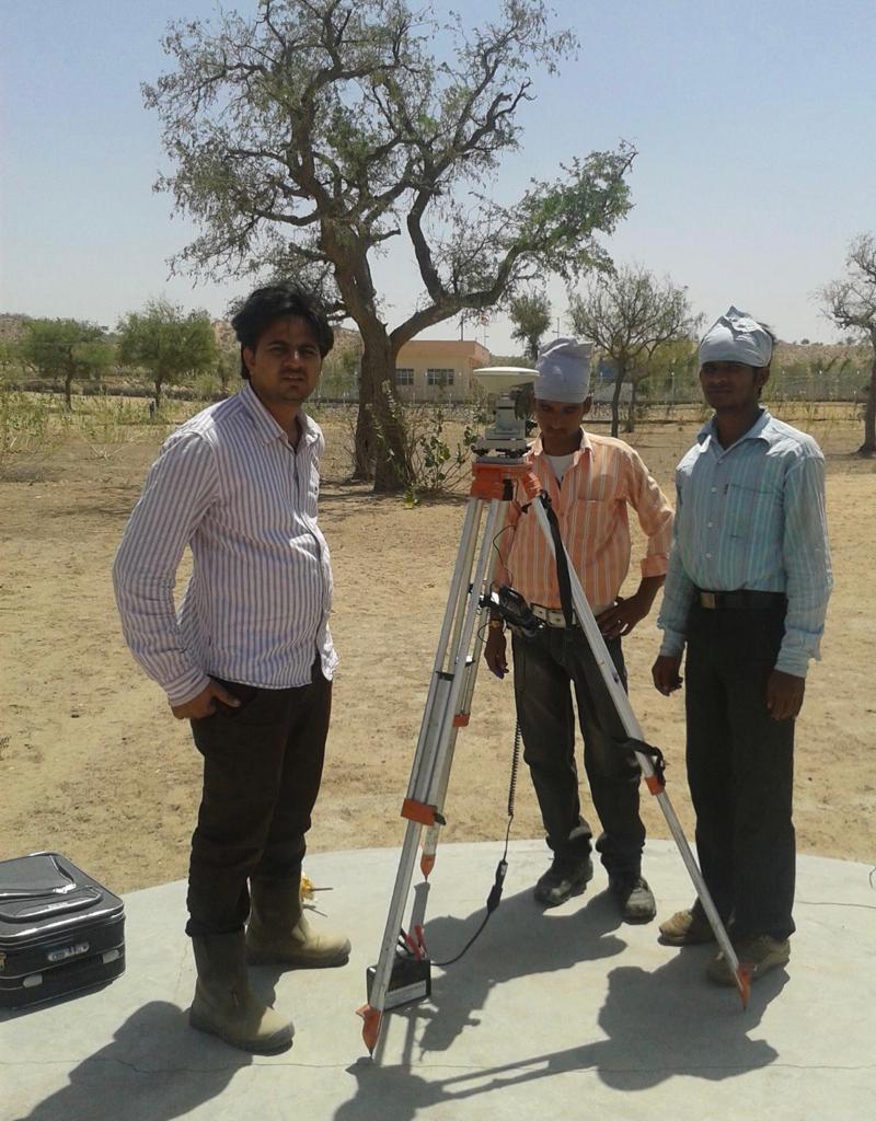
The technology of drones and UAVs has unquestionably brought about a substantial change in how business is done at the present time. Unmanned Aerial Photogrammetric Survey is the use of Unmanned Aerial Vehicles (UAVs) or Drones to take photos for use in photogrammetry, the science of making measurements from photographs. Traverse Survey Pvt Ltd is a Drone (UAV) Survey, mapping, inspection & publications company in Udaipur, India. We help our clients integrate drone technologies and solutions into their current business processes for meaningful human and business impact. Drones are capable of capturing the most vivid footage of live events across the globe irrespective of their duration. We are having practical experience in the collection, analysis, presentation and conveyance of geospatial data.