Our Mission

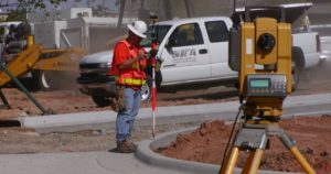
We are a reliable service provider engaged in offering solution for Land Survey. The procedure of determining the terrestrial or three-dimensional position of points and the distances and angles between them is known as land surveying. In order to accomplish this, we make use of various elements such as geometry, engineering, trigonometry, mathematics, physics, and law. Our experienced professionals ensure to maintain accuracy in the surveying and thereby provide our clients cost effective solution to clients. We are one of the noted road surveys service providers and these services are delivered by experienced industry professionals that are designed in compliance with international quality standards. We have been instrumental in conducting road surveys that aid in determining the condition of pavement sub layers & location of any potentially dangerous voids. “Best Service at Optimum Cost” is the ultimatum of Hitech Construction Company. The company pledges to provide the best value-added construction service to the clients by establishing a healthy professional contact with them throughout the process. Our aim is to build up a lasting bond with our clients through the extraordinary performance of the members of our team to provide our clients a medium in which they can safely put their trust.

Pipeline Services
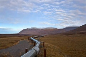
Pipeline Services is always on the lookout for innovative technologies and the latest products to achieve total customer satisfaction. We carry a wide range of state-of-the-art products and services for all of your rehabilitation needs. From leak detection to pipe inspections, cleaning to lining, flow monitoring to source tracing, our experience and expertise has earned us the reputation as the reliable partner for the management, renovation and repair of your assets.

GPS Services
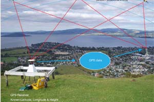
GPS utilises 24 medium Earth orbit satellites and is currently the only fully functional Global Navigation System (GNSS).Precise microwave signals are transmitted from the satellites, . The distance to each satellite can be calculated by measuring the time delay between transmission and reception of each GPS microwave signal. This is possible beacause the signal travels at a known speed.

TOPOGRAPHIC SURVEYS
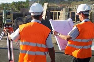
Partner's licensed professional surveyors provide topographic services to help clients identify and assess features, elevations, and slopes at a property site to ensure that it is appropriate and feasible for the intended construction projects.A topographic survey locates all surface features of a property, and depicts all natural features and elevations. In essence it is a 3-dimensional map of a 3-dimensional property showing all natural and man-made features and improvements.
